
Hurricane Melissa is on track to become a major Category 4 hurricane this weekend. Read the latest path, life-threatening flood warnings, and extreme rainfall forecasts for Jamaica and Haiti.
Tropical Storm Melissa continues its erratic, slow crawl across the central Caribbean, moving at a snail’s pace and posing a growing threat of life-threatening flash flooding and landslides across Jamaica and southern Hispaniola (Haiti and the Dominican Republic). Forecasters warn that the storm is poised for rapid intensification and could become a major hurricane by the end of the weekend.
As of Thursday, Melissa was barely moving north-northwest at 2 mph, with maximum sustained winds of 45 mph. This slow, “meandering” motion is considered a major concern, as it will prolong the rainfall—and thus the flood threat—for any area in its vicinity.
The Growing Threat: Intensification and Impact
The primary hazard is torrential rainfall. The National Hurricane Center (NHC) is forecasting:
- Rainfall Totals: 6 to 12 inches across southern Haiti, the southern Dominican Republic, and eastern Jamaica through Sunday, with locally higher amounts possible.
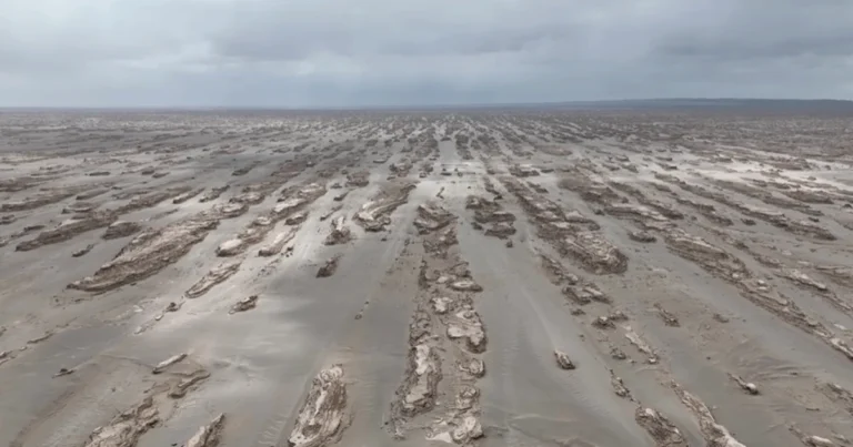
- Flood Risk: This amount of rain is expected to trigger significant, life-threatening flash flooding and numerous landslides, particularly in the mountainous regions of Hispaniola and Jamaica. A tragedy has already been reported, with one elderly man killed by a downed tree in southern Haiti.
The Hurricane Forecast
After struggling with wind shear, Melissa is expected to find a prime environment for strengthening: extremely warm Caribbean waters (approx. 86-89℉) and low wind shear.
- Hurricane Status: Melissa is forecast to reach hurricane strength by late Friday or early Saturday.
- Major Hurricane: It is then projected to rapidly intensify into a major hurricane (Category 3 or stronger) by late this weekend or early next week, potentially reaching Category 4 status. Some models suggest it could even flirt with Category 5 strength.
A Hurricane Watch is in effect for Jamaica and the southwestern peninsula of Haiti, indicating that hurricane conditions are possible within the next 48 hours.
Uncertain Path and Preparations
The storm’s exact long-term track remains uncertain, but the immediate concern is the Caribbean islands.
- Track Uncertainty: The NHC predicts Melissa will continue to meander and then move closer to Jamaica and southwestern Haiti over the next few days. Beyond that, the storm is expected to turn northward toward Cuba and the Bahamas next week, but residents throughout the region are urged to monitor forecasts closely.
- Mobilization: Officials in Jamaica and the Dominican Republic have urged residents in flood-prone areas to move to higher ground. Courts and non-essential businesses are closed, and hundreds of shelters have been made available. Jamaica’s Met Service warned that the 12 inches of rain expected on the island’s eastern side is the “main thing that we should be mindful of at this time.”
With the potential for Melissa to become a “large and dangerous hurricane,” authorities are racing against the clock to complete preparations and secure property before the strongest winds and rains arrive.